
Individual Trail Information
Overbrook Trail
Length: 0.9 miles
Surface: Asphalt and concrete
Terrain: Flat
Highlights: Connects JFK Blvd and North Hills Blvd
North Shore Trail
Length: 1 mile
Surface: Asphalt
Terrain: Flat
Highlights: Connects North Shore Business Park and Arkansas River Trail
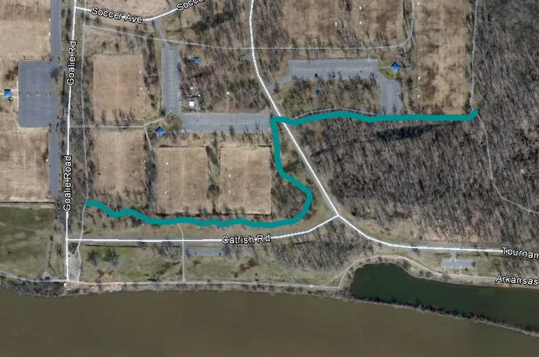
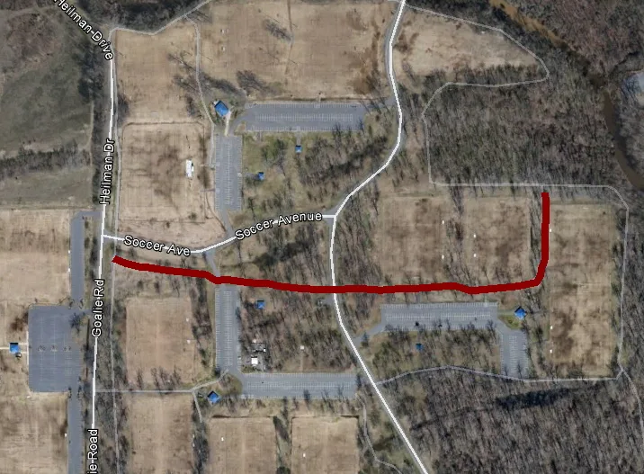
Cottonwood Trail
Length: 0.6 miles
Surface: Asphalt
Terrain: Flat
Highlights: Located within Burns Park Soccer Complex
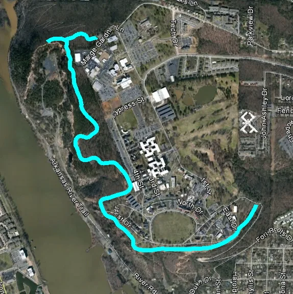
Highland Trail
Length: 2.1 miles
Surface: Asphalt
Terrain: Slightly hilly but not strenuous
Highlights: Overlooks the Big Rock Quarry and the Arkansas River
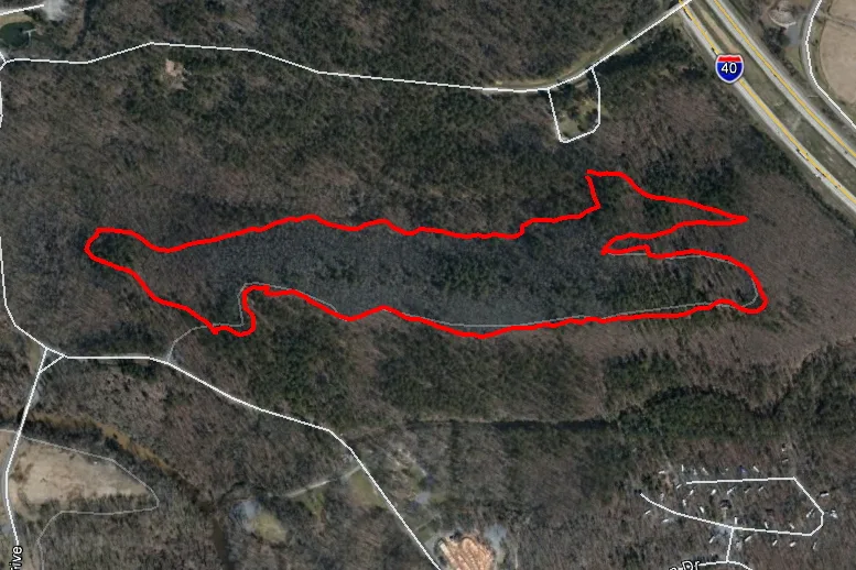
Isabella Jo Trail
Length: 1.0 mile
Surface: Asphalt
Terrain: Flat
Highlights: Along two lakes and great for viewing wildlife
Savannah Lou Trail
Length: 0.5 miles
Surface: Asphalt
Terrain: Flat
Highlights: Located within Burns Park Soccer Complex
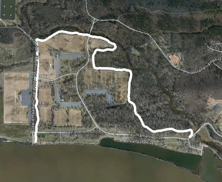
White Oak Bayou Trail
Length: 2.0 miles
Surface: Asphalt
Terrain: Flat
Highlights: Combined with the Arkansas River Trail make a loop around the Burns Park Soccer Complex and Dog Park
Levy Spur Trail
Length: Currently 2.0 miles
Surface: Asphalt
Terrain: Flat
Highlights: Parallels Camp Robinson Road between I-40 and 55th Street
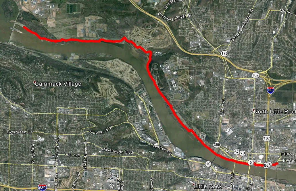
Arkansas River Trail
Length: 7.5 miles in North Little Rock
Surface: Asphalt
Terrain: Mostly flat with some slight hills
Highlights: Combined with the Little Rock side this trail trail make a 15 miles loop between the Big Dam Bridge and the Clinton Presidential Bridge near the the downtown areas of Little Rock and North Little Rock. For more information about this trail, visit arkansasrivertrail.org.
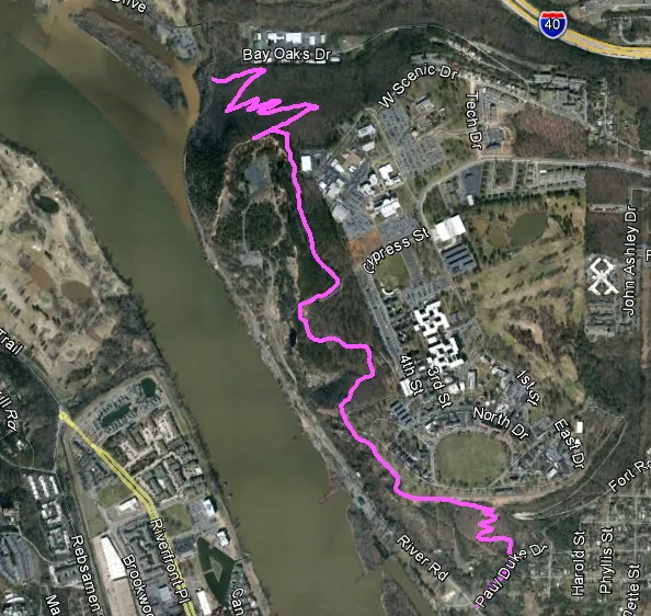
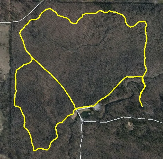
Emerald Park Trail
Length: 2.7 miles
Surface: Natural, rocky, asphalt
Terrain: Steep hill on each end and slight hills to flat in middle
Highlights: This trail is great for mountain bikers leading up to and joining with the Highland Trail through Emerald Park.
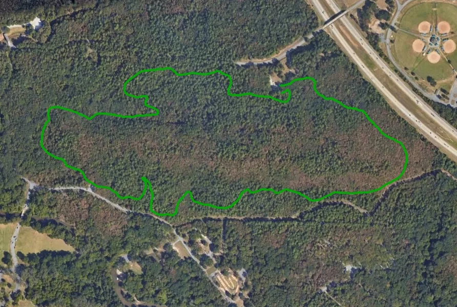
Green Loop Trail – revised 2024
Length: 2.2 miles
Surface: Natural and rocky in areas
Terrain: Flat and hilly
Highlights: A couple great overlooks of the Arkansas River, plenty of wildlife to watch; there is a cutoff about halfway through to make a shorter loop
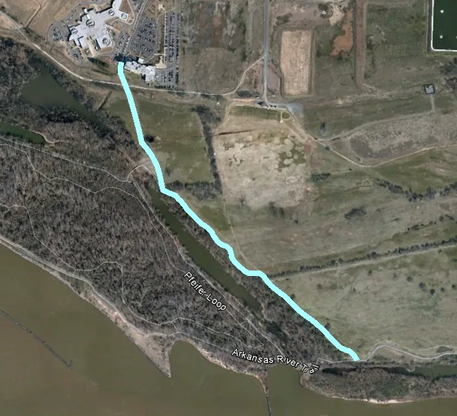
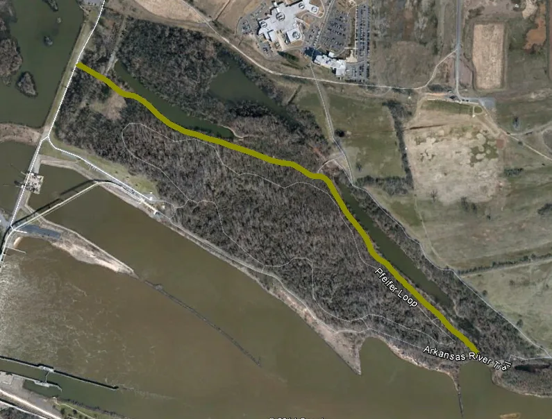
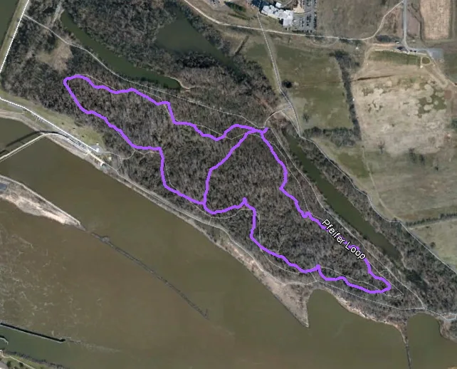
Pfeifer Loop Trail
Length: 2.1 miles
Surface: Natural
Terrain: Flat
Highlights: Based at the base of the Big Dam Bridge, this trail…
Red Loop Trail
Length: 1.8 miles
Surface: Natural and rocky in areas
Terrain: Hilly in areas
Highlights:
Yellow Loop Trail
Length: 2.2 miles
Surface: Natural
Terrain: Flat with a couple of rolling hills
Highlights:
Yellow Trail West
Length: 3.7 miles
Surface: Natural
Terrain: Flat
Highlights: This trail was designed with equestrians in mind to allow access between Burns Park and the Pfeifer Loop Trail at the base of the Big Dam Bridge
Yellow Trail East
Length: 2.7 miles
Surface: Natural
Terrain: Flat
Highlights: This trail gives equestrians access to parrallel the Arkansas River Trail
Connector Trails
Length: varies
Surface: Natural and rocky in areas
Terrain: Flat and hill in areas
Highlights: These trails allow access between other trails
Burns Park:
4.6 miles of 5 Paved Trails
11.0 miles of 5 Unpaved Trails
Other Parks:
8.4 miles of 4 Paved Trails
3.9 miles of 2 Unpaved Trails